



Green Belt Development for Industries · Townships & Area Development
Green Belt Development for Townships & Area Development: the mapped green network the 8(b) clearance was granted against.
The green network committed in a township's item 8(b) EIA is a mapped, measurable obligation across the layout (a specified area, in specified locations, planted to a specified species mix) and it has to be delivered phase by phase across the whole build-out.
Screening view on your project, with the category and route named. No obligation.
What this means for townships & area development
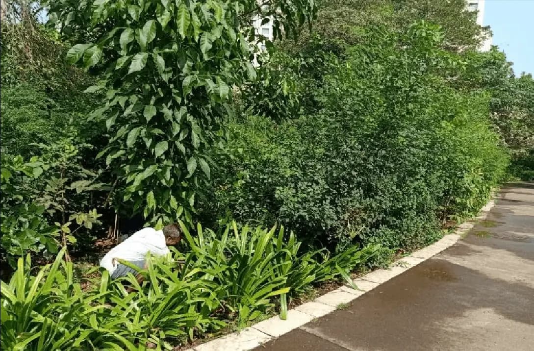
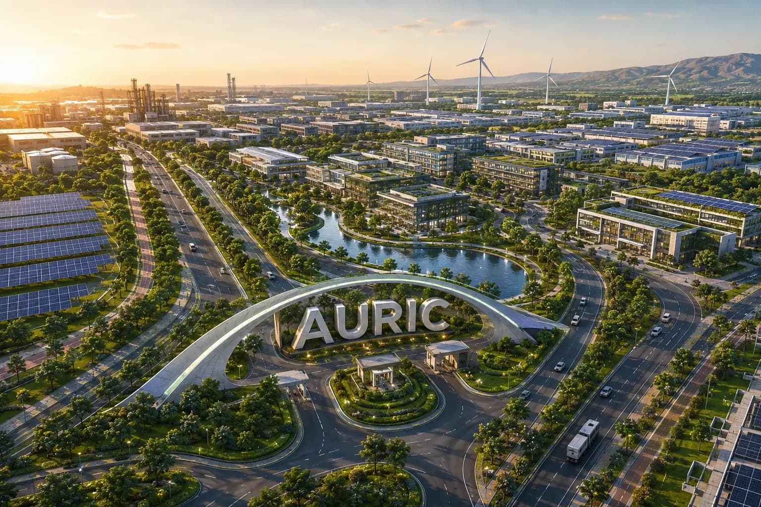
At settlement scale, green cover stops being landscaping and becomes infrastructure. The 8(b) appraisal looks at where the green network sits on the layout (perimeter belts, buffers against adjoining industrial or highway edges, corridors along nallahs and storm-water lines, and the sector-level open spaces) and at what it is expected to do: intercept dust and noise at the boundary, hold soil on cut-and-fill slopes, retain and infiltrate storm water rather than exporting runoff to neighbouring land, and provide the tree count and canopy the clearance commits to. Because it is mapped, it is auditable: a compliance reviewer can compare the committed green plan with what exists on the ground and in satellite imagery, and the difference is usually the phases where the belt was deferred while the saleable area was built.
How KIPL runs it
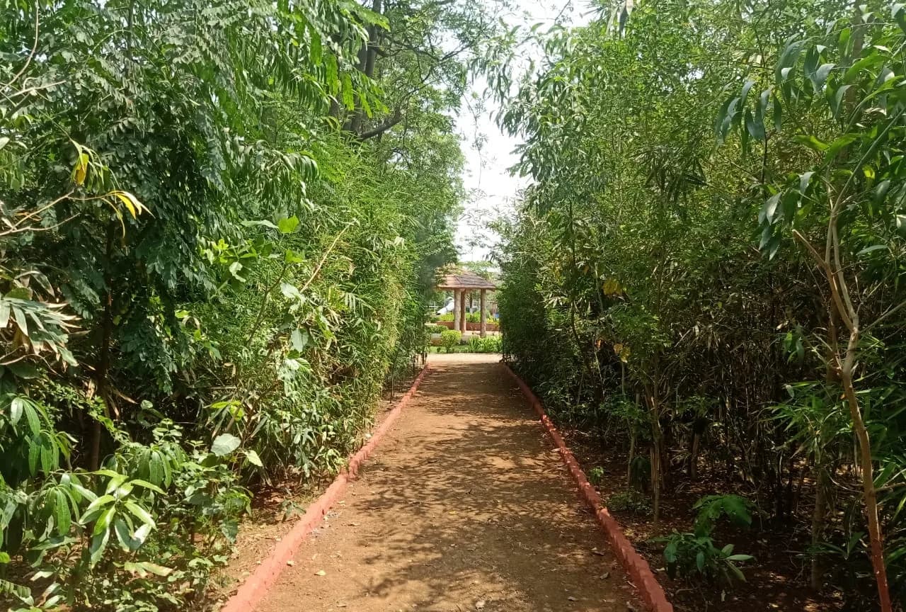
KIPL treats the green network as a phased delivery programme with the same status as the roads and the treatment plants: which stretch of belt is planted with which phase, what the species mix and density are, where the irrigation comes from, normally the treated-water reuse main. And what survival is expected and evidenced. We plant against the map and record against the map. The failure pattern on townships is consistent: the belt is scheduled last in every phase, deferred, and then attempted in year eight on compacted ground with no irrigation, at which point the survival rate makes the committed canopy unreachable and the compliance record shows a decade of shortfall that cannot be caught up.
- 8(b)
A mapped commitment, not a percentage
The green network in a township clearance is committed by area and location on the layout. That makes it verifiable against the ground and against imagery, phase by phase.
The belt does real work at the boundary
Perimeter belts and buffers manage dust, noise and visual impact against adjoining land uses, and corridors along drainage lines hold soil and slow runoff. These are the functions the assessment credited the belt with.
Deferred planting cannot be caught up
Canopy takes years. A belt planted in the last phase cannot deliver in year ten what a belt planted in phase one would have. Sequencing planting with each phase is the only way the committed cover is ever achieved.
What you receive
Written for townships & area development, not adapted from a template.
- 01Green network plan mapped to the layout: perimeter belts, buffers, drainage corridors and sector open space
- 02Phase-wise planting programme with area, species mix, density and planting season for each tranche
- 03Native and site-appropriate species selection for boundary buffering, slope stabilisation and canopy
- 04Irrigation design drawn from the treated-water reuse network, with establishment-period watering planned
- 05Planting execution, replacement of failures and establishment-period maintenance
- 06Area planted, stem count and survival records mapped and dated for the half-yearly compliance report
Questions from townships & area development
What townships & area development ask before appointing us.
Answered against the regulation as it stands, not as a sales pitch. If your situation is not here, ask us directly.
Ask a question →How is a township green belt different from landscaping?
It is committed by area and location in the clearance and it is expected to perform functions (boundary buffering, slope stabilisation, runoff attenuation, canopy), not simply to look designed. Amenity landscaping sits inside it, but the belt itself is an environmental commitment that is measured.
When should the belt be planted relative to the phases?
With each phase, not after all of them. Canopy is a function of time, so a belt planted in year eight cannot deliver in year ten what a belt planted in year two would have. Deferring the belt is the single most common reason a township's committed green cover is never reached.
What do we irrigate a green belt with?
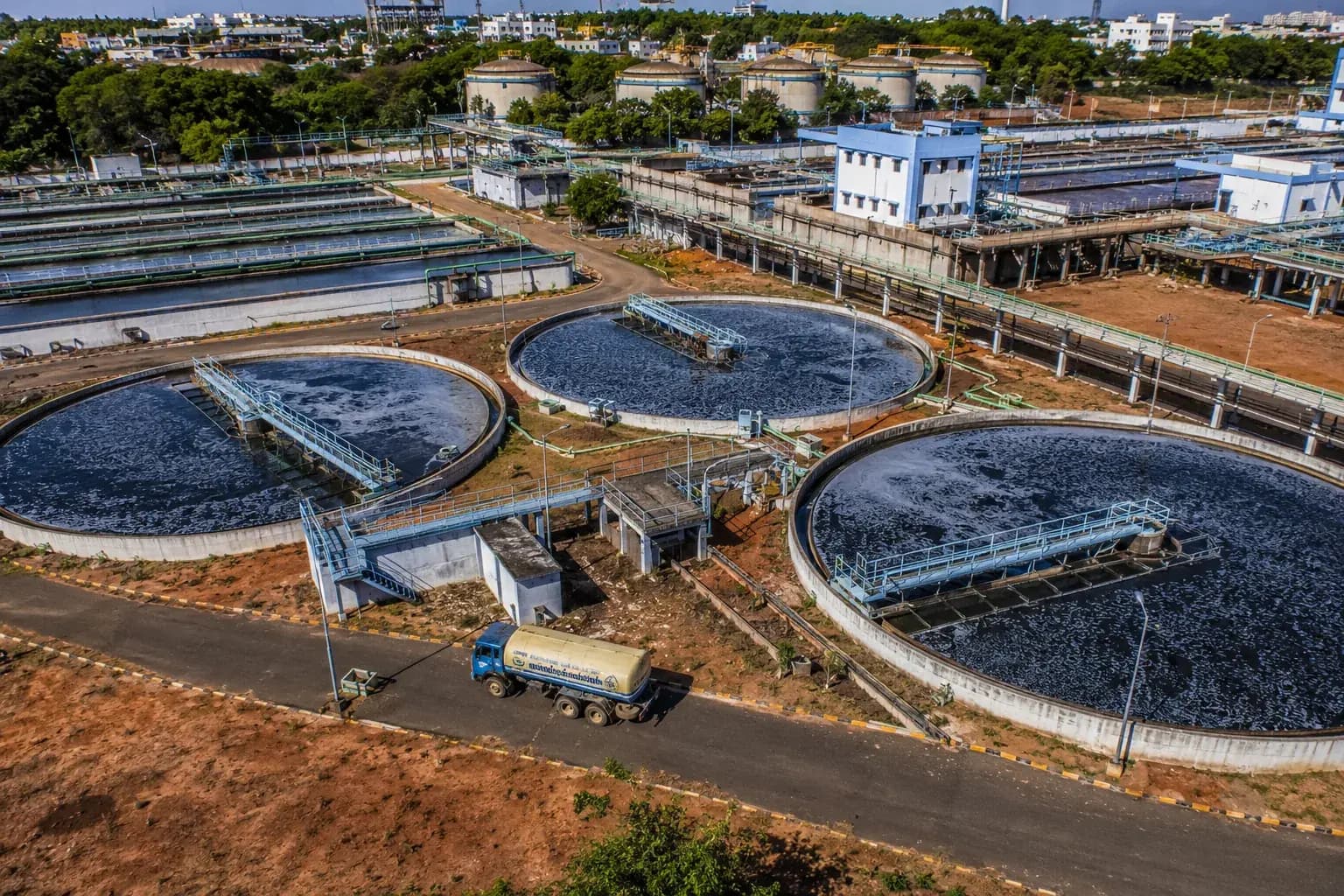
Normally treated water from the township's own STP, delivered through the reuse main. Planning the belt and the reuse network together is what makes the irrigation affordable: and both are commitments in the same clearance, so it is inefficient to design them separately.
How is the commitment verified?
Against the committed map: area planted, location, species and survival, evidenced in the half-yearly compliance report with dated records, and increasingly cross-checked against satellite imagery. A mapped commitment is easy to verify, which is precisely why it should be delivered on schedule.
What species work in a township perimeter belt?
Site-appropriate native species chosen for the function of that stretch: dense, dust-tolerant, multi-layer planting where the belt buffers a highway or industrial edge; deeper-rooting species on cut-and-fill slopes; canopy species along internal corridors. A single ornamental palette applied across the whole belt performs poorly at all of them.
Who maintains the belt after the phases are handed over?
The township management arrangement, with the obligation continuing for the life of the clearance conditions. Maintenance, replacement planting and survival recording all have to be part of that arrangement, because an unmaintained belt loses its canopy quietly and the compliance record shows it years later.
Stage by stage
How green belt development for industries actually runs, step by step.
Also for townships & area development
The rest of the environmental brief for this sector.
Primary sources
Verify any of this at the source.
Relevant proof
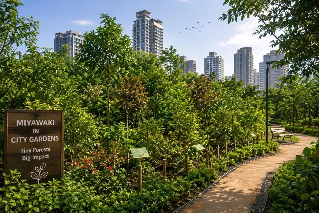
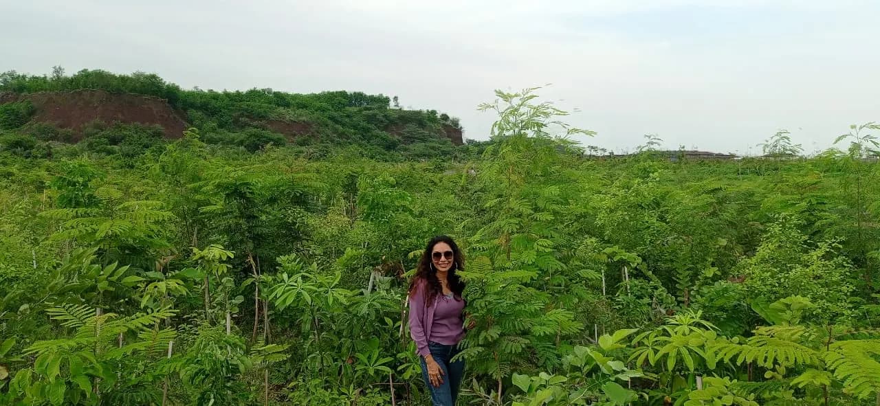
Miyawaki Plantations at Jamnagar and Junagadh
Land preparation, soil treatment, plantation and irrigation delivered phase-wise in four months.
- Area
- 24,000 m²
- Native plants
- 82,000
Where we do this
Green Belt Development for Industries for townships & area development, city by city.
Other sectors
Who else we run green belt development for industries for.
Next step
Tell us the project, and we will tell you the category and the route.
Screening is the cheapest stage to get right and the most expensive to get wrong. We will say plainly what green belt development for industries your townships & area development project needs, and what it does not.





















































Start the conversation