










The unit, and its status, come before the project
Groundwater is assessed by unit — block, taluka, mandal or firka depending on the State — and each unit is categorised by its stage of groundwater extraction, the ratio of what is drawn to what is annually available for extraction. The categories are Safe, Semi-critical, Critical and Over-exploited, and they are reassessed periodically as part of the national assessment exercise.
That category is the single most important fact in a groundwater engagement, because it sets the posture of the whole application. A proposal in a Safe unit is a question about quantity and sustainability. The same proposal in an Over-exploited unit is a question about whether abstraction should be permitted at all, and if so against what offsetting obligation.
Units are also re-categorised between assessments. A project scoped against last cycle's status, or against a neighbouring unit, is scoped against the wrong question.
- Safe70% stage of extraction
Up to 70%
- Semi-critical90% stage of extraction
Above 70% and up to 90%
- Critical100% stage of extraction
Above 90% and up to 100%
- Over-exploited120% stage of extraction
Above 100% — extraction exceeds annual extractable resource
The categories used in the national groundwater assessment, by stage of extraction — extraction as a proportion of annual extractable resource. The band your unit sits in decides what the application has to prove.
What the hydrogeological report has to establish
The technical core of an application is the hydrogeological report, and its job is narrow and specific: to establish that the quantity sought can be abstracted from the identified aquifer without unacceptable impact, and to show what that conclusion rests on.
That means the aquifer has to be identified rather than assumed — the formation, its depth, its yield characteristics. It means existing abstraction in the vicinity has to be accounted for, because the question is cumulative and not confined to the applicant's boundary. It means the water requirement itself has to be derived from the process or occupancy rather than rounded up for comfort, since an inflated demand is both harder to justify and permanently binding once it is written into the NOC.
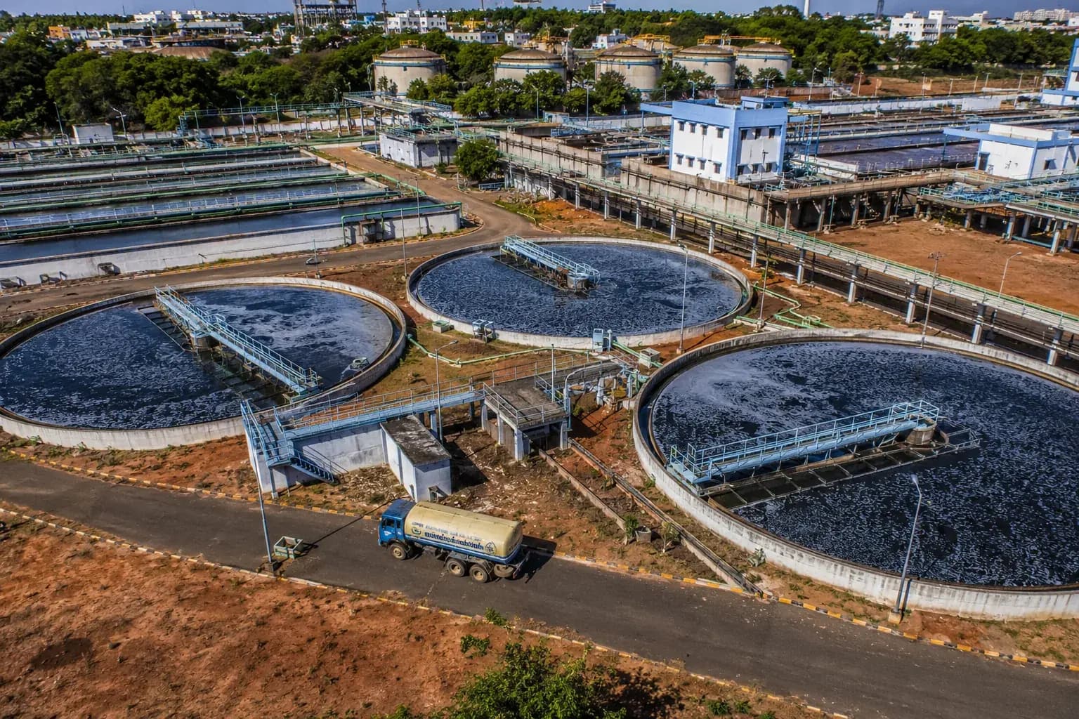
And it means the alternatives have to be addressed honestly. Where a municipal supply, treated wastewater or recycled process water can displace fresh groundwater, an application that does not explain why it has not is an application inviting the obvious question.
The aquifer
Identified by formation and depth, with yield characteristics established rather than inferred from a regional map.
The quantity
Derived from process demand or occupancy, reconciled to a water balance. The figure granted is the figure you are held to.
The neighbourhood
Existing abstraction nearby, because the impact question is cumulative and does not stop at the plot boundary.
The alternatives
Municipal supply, treated wastewater and recycled process water, and why they do not displace the groundwater sought.
What an application is assessed on. Each of these is independently checkable, which is why each of them is checked.
The conditions are the substance of the permission
An NOC is granted subject to conditions, and the conditions are not boilerplate appended to a decision — they are the terms on which the decision was reachable at all.
In practice they recur: measurement of what is actually abstracted; artificial recharge or rainwater harvesting proportionate to the abstraction and to the site's catchment; monitoring of water levels; periodic reporting; and water-use efficiency or audit obligations. Where the unit is stressed, the recharge obligation is typically the condition that does the heaviest work, because it is the mechanism by which permission in a stressed unit is made defensible.
These obligations persist. They are what a renewal is examined against, and a site that has abstracted faithfully but recharged nominally has an incomplete answer at renewal even though it never exceeded its quantity.
Watch this
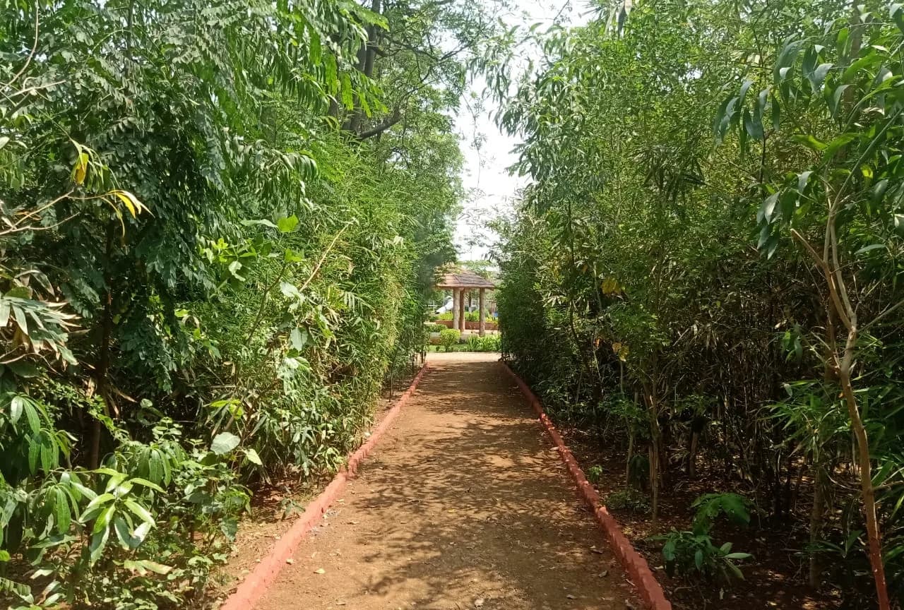
The recharge structure is part of the permission, not a landscaping item.
Where it is built late, built small, or built where the catchment does not actually drain to it, the obligation is unmet in substance — and the renewal file is where that is established.
Filing has moved online, and the guidelines keep moving
Applications are made through the Authority's online system, which has been revised and renamed across successive cycles. The current channel and the current application format should be confirmed at the time of filing rather than taken from an earlier engagement.
The substantive guidelines have been revised repeatedly as well, including in response to litigation, and the revisions have changed which categories of user need an NOC, what is charged, and what conditions attach. This is a genuinely moving area. We have seen advice no older than a project's own design period be wrong by the time the application was made.
The stable part is the shape of the question: which unit, what status, what aquifer, how much, what else could be used instead, and what will be put back. Build the file around those, and the current form is a format exercise rather than a re-scope.
What to do with this
- 01Establish the assessment unit's current category first — it determines what the application must prove.
- 02Identify the aquifer; do not infer it from a regional map.
- 03Derive the quantity from demand and reconcile it to a water balance. The figure granted is the figure you are bound to.
- 04Address municipal supply, treated wastewater and recycling explicitly, or expect to be asked.
- 05Build recharge properly and early — it is the condition that carries a stressed-unit permission, and renewal is examined against it.
- 06Confirm the current filing channel, format and guideline revision at the time of filing. This area moves.