



Miyawaki Urban Dense Forestation · Townships & Area Development
Miyawaki Urban Dense Forestation for Townships & Area Development: committed tree count and canopy, delivered faster across phased land.
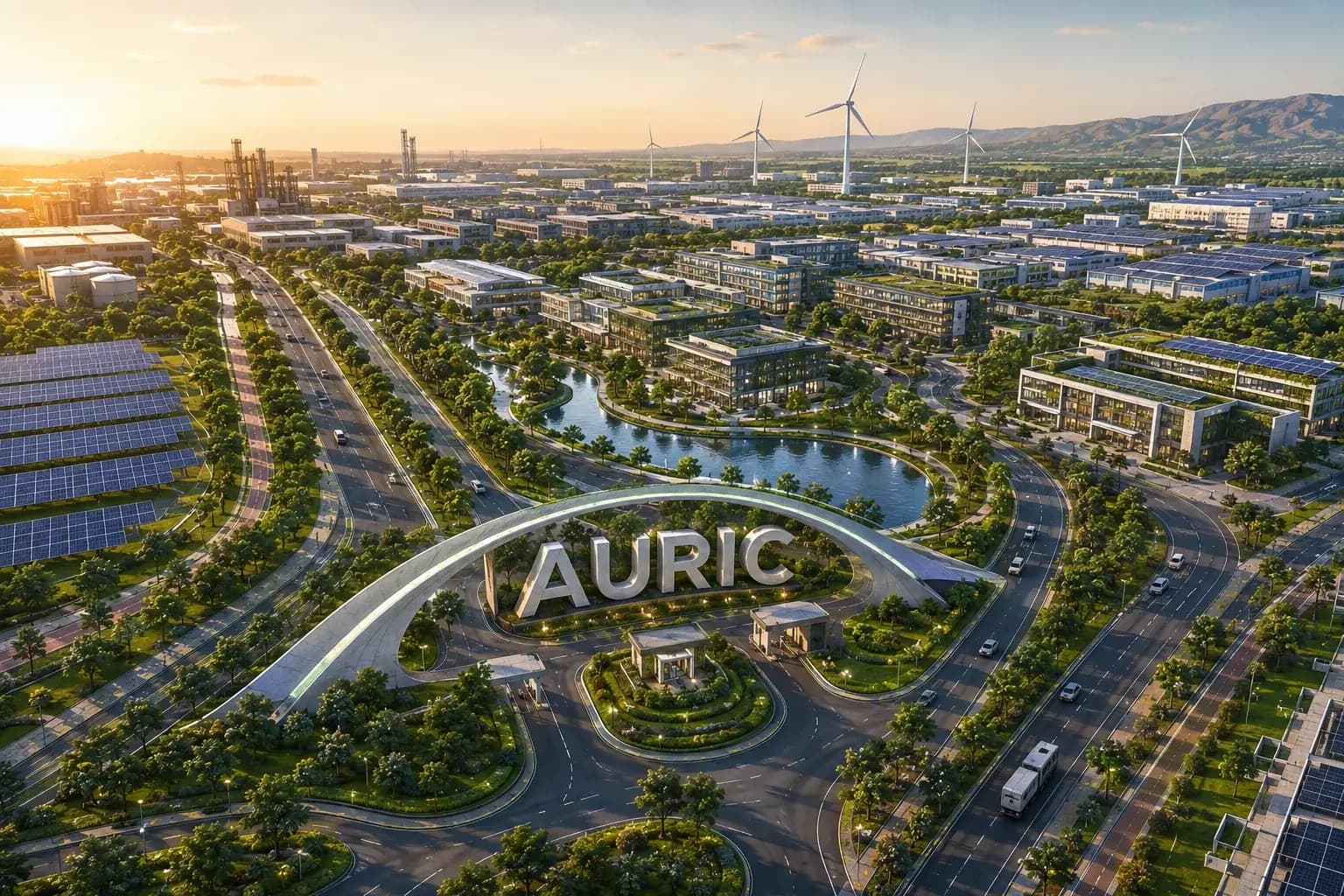
Dense native forestation lets a township deliver the tree count and green cover committed in its item 8(b) clearance far faster than avenue planting, and lets planting begin on land that is phases away from development.
Screening view on your project, with the category and route named. No obligation.
What this means for townships & area development
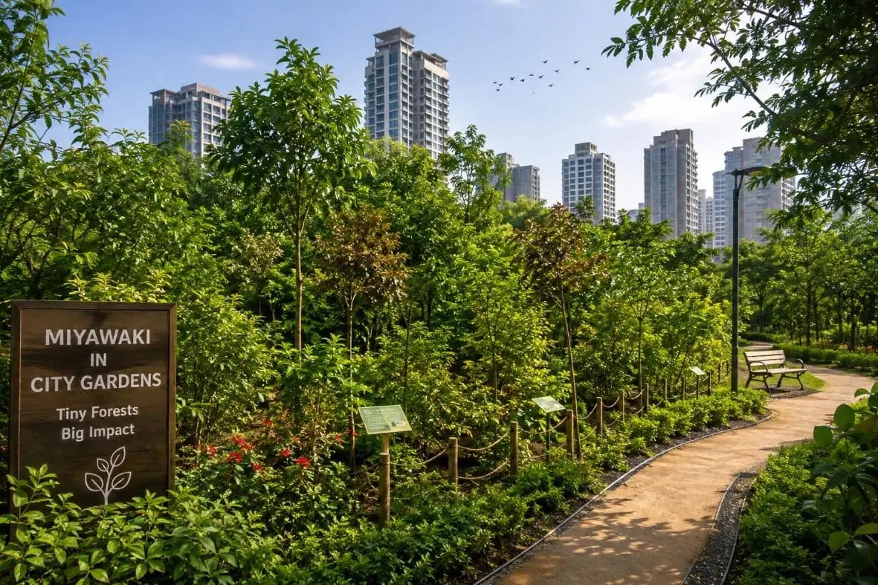
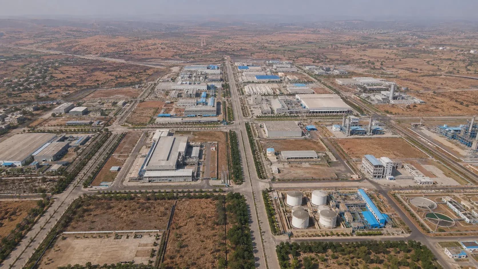
A township commits to a tree number and a mapped green network, and then has to deliver canopy across a build-out that runs for years. Two things make dense native forestation particularly suited to this. The first is speed: multi-layered native planting in a prepared soil profile closes canopy in years rather than decades, which matters when the compliance record is comparing committed green cover against what exists in year five. The second is that a township has land available before it is needed: a parcel earmarked for phase four is sitting empty in phase one, and the perimeter belt and buffer strips are available from the start. Planting dense stands early on that land converts waiting time into canopy, and it does so on ground that is not yet compacted by construction traffic. Dense stands also do real work in a township context: they buffer boundaries against highway and industrial edges, they stabilise cut-and-fill slopes, and they give early sectors a green setting long before the master landscape is complete.
How KIPL runs it
KIPL plans dense forestation patches against the committed green network map, so each stand is identifiable as delivery of a specific commitment rather than as generalised planting, and against the site's real soil, sunlight and water conditions, with irrigation from the treated-water reuse main where the phase infrastructure allows. We prepare the soil profile, select a layered native species mix suited to the local ecology, plant at the density the ground can carry, and maintain through establishment with dated, mapped survival records. The mistake on townships is to plant a demonstration patch near the sales office and count it as the green commitment; the commitment is mapped across the layout, and it is verified against that map.
- 8(b)
A committed tree count across a long build-out
The township clearance commits a tree number and mapped green cover. Dense native planting delivers that count and closes canopy far faster than spaced avenue planting across the same period.
Land is available before it is developed
Parcels awaiting later phases, perimeter belts and buffer strips can be planted early. That converts holding time into established canopy and puts planting on ground not yet compacted by construction.
It does functional work at the edges
Dense stands buffer highway and industrial boundaries, stabilise cut-and-fill slopes and screen the construction front from occupied sectors: the same functions the green network was credited with at appraisal.
What you receive
Written for townships & area development, not adapted from a template.
- 01Identification of plantable land by phase: future parcels, perimeter belts, buffer strips, slope edges
- 02Site assessment for soil depth, drainage, sunlight and water availability at each proposed stand
- 03Layered native species mix designed for the local ecology and for the function of each location
- 04Soil profile preparation and planting density set against the committed tree count for that stretch of the green map
- 05Irrigation through establishment, drawn from the treated-water reuse network where phase infrastructure allows
- 06Mapped, dated planting and survival records tied to the committed green network for the half-yearly report
Questions from townships & area development
What townships & area development ask before appointing us.
Answered against the regulation as it stands, not as a sales pitch. If your situation is not here, ask us directly.
Ask a question →Can dense forestation count toward our committed township tree numbers?
Where the commitment is expressed in tree count, native species and green cover, and the stands are mapped, recorded and surviving, yes. The discipline that matters is tying each stand to the specific stretch of the committed green network it delivers, so the evidence lines up with the map the clearance was granted on.
Can we plant on land reserved for a later phase?
Often, and it is one of the strongest arguments for the method on a township, canopy established in phase one on a parcel that develops in phase five is canopy the project would otherwise never have. It needs a clear-eyed decision about what happens at development, which usually means siting the stands where the layout keeps them.
How fast does canopy actually close?
Considerably faster than conventional spaced planting, because the layered structure and competition for light drive vertical growth: but the rate depends on species, soil preparation, irrigation and site conditions. The first two summers determine the outcome more than anything done later.
What irrigates the stands on a greenfield site?
Treated water from the township's own STP through the reuse main where phase infrastructure has reached the location, and a planned tankering or bore arrangement where it has not. Establishment irrigation is not optional: a dense stand planted and left unwatered fails densely.
Does it replace the green belt?
No, it is a technique used within the committed green network. Perimeter belts, corridors and open spaces still have to be delivered as mapped; dense planting is how some of those stretches are planted so that canopy and stem count arrive far earlier than they otherwise would.
How is it evidenced for compliance?
By mapped, dated records of area planted, species, stem count and survival, tied to the committed green network and reported half-yearly. Because the township commitment is spatial, the evidence has to be spatial too: a photograph without a location proves very little in year six.
Stage by stage
How miyawaki urban dense forestation actually runs, step by step.
Also for townships & area development
The rest of the environmental brief for this sector.
Relevant proof
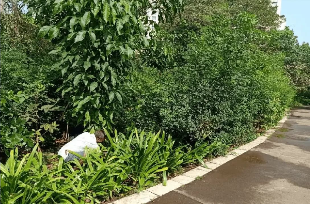
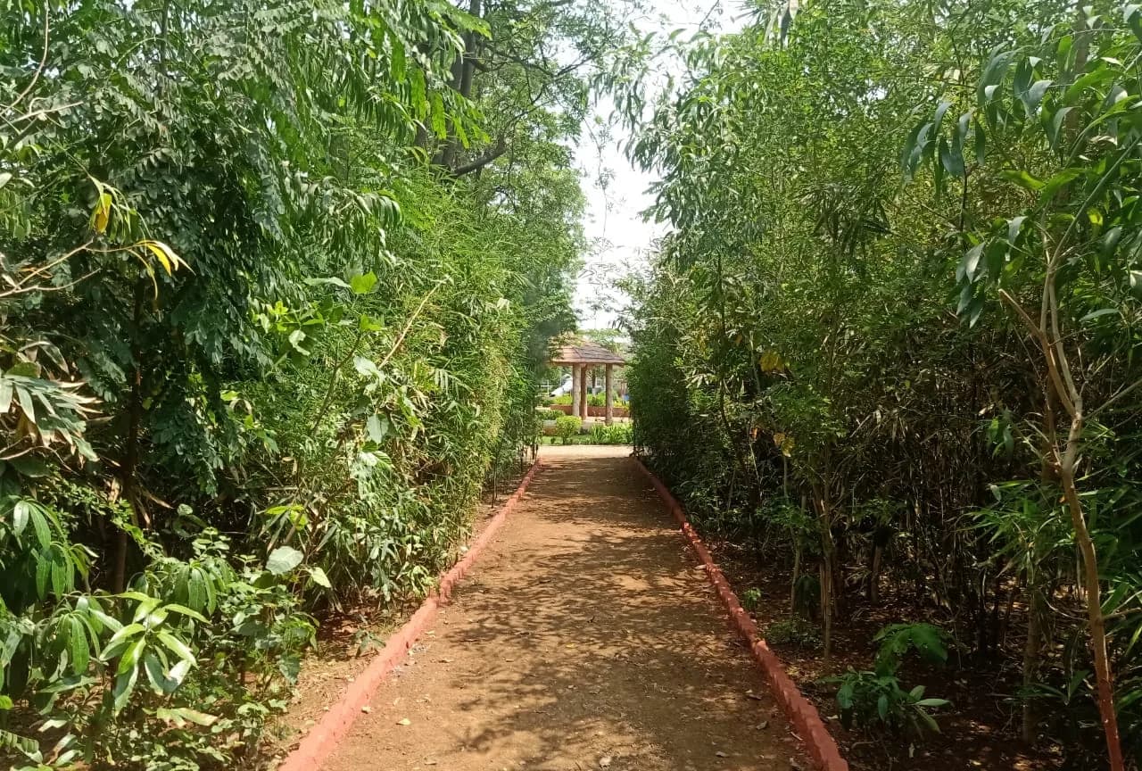
MCGM GARDEN DEVELOPMENT- MIYAWAKI PLANTATION
Miyawaki dense forestation across 27 locations in 7 wards using native species, delivered under the municipal greening programme.
- Area
- ~74,000 m²
- Trees
- ≈1,10,000
- CO₂ (est.)
- 2,052 t
Where we do this
Miyawaki Urban Dense Forestation for townships & area development, city by city.
Other sectors
Who else we run miyawaki urban dense forestation for.
Next step
Tell us the project, and we will tell you the category and the route.
Screening is the cheapest stage to get right and the most expensive to get wrong. We will say plainly what miyawaki urban dense forestation your townships & area development project needs, and what it does not.



























































Start the conversation