





CGWA Groundwater NOC · Logistics & Ports
CGWA Groundwater NOC for Coastal Logistics & Port Sites
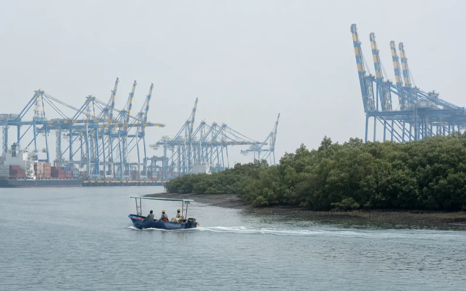
A coastal logistics or port site drawing groundwater is assessed on saline ingress as much as on volume, which makes the hydrogeological case considerably harder to make than the abstraction figure alone would suggest.
Screening view on your project, with the category and route named. No obligation.
What this means for logistics & ports
Inland, a groundwater application is largely an arithmetic exercise, demand against the assessment unit's category and the recharge available. On the coast a second question dominates it, and it is not one that a modest abstraction figure answers. Coastal aquifers sit in equilibrium with seawater, and pumping shifts the freshwater-saline interface landward; once that interface has moved, it does not readily move back, and the wells affected are not only the applicant's. The Authority therefore examines the local aquifer geometry, the existing abstraction in the vicinity, the distance to the interface and the depth and screening of the proposed wells, and it looks for monitoring that measures salinity, not just water level. For a logistics platform there is an additional pattern worth being honest about: peak demand is usually during construction, for earthworks compaction, curing and dust suppression on a very large site, and it can far exceed the operational demand for washrooms, wash bays and landscape. An application built on operational demand alone will be short by exactly the amount that matters, and the borewells that get sunk to cover the gap are the ones nobody applied for. The application itself runs through the Bhuneer portal, which replaced the earlier NOCAP system.
How KIPL runs it
KIPL builds the coastal groundwater case around the interface rather than around the pump. That means the aquifer characterised from local bore logs and existing well data, an assessment of what the proposed abstraction does to the interface position, well siting and screening chosen to draw from the least vulnerable horizon, and a piezometer network that records electrical conductivity alongside water level so that salinity trends are visible rather than inferred. Just as important is the alternatives case, because on many coastal sites it is the stronger application: rainwater harvesting from an extremely large roof area, treated sewage reused for flushing, landscape and dust suppression, tanker or supply-authority water for the construction peak, and recycled wash water for the yard. Reducing the abstraction sought is usually easier than justifying it. The failure we see is a construction programme that outruns its water plan, a set of unauthorised borewells sunk to keep the earthworks moving, and a saline well two years later that nobody can attribute because there was never any baseline monitoring.
Saline ingress, not volume, is the test
Coastal abstraction shifts the freshwater-saline interface landward, and the movement is not readily reversed. The Authority assesses that risk before it assesses the quantity sought.
- Bhuneer
The portal and the assessment unit category
Applications run through Bhuneer, which superseded NOCAP, and the safe, semi-critical, critical or over-exploited status of the assessment unit shapes what can be permitted.
Construction demand is the real peak
Earthworks, compaction, curing and dust suppression on a large platform outstrip operational demand. An application sized on operations alone leaves the construction phase unauthorised.
What you receive
Written for logistics & ports, not adapted from a template.
- 01Hydrogeological report characterising the coastal aquifer from local bore logs and existing wells
- 02Saline ingress assessment with interface position and the effect of the proposed abstraction
- 03Well siting, depth and screening recommendations for the least vulnerable horizon
- 04Water balance covering the construction peak as well as operational demand
- 05Alternatives case: rainwater harvesting from the roof area, treated sewage reuse, supplied water
- 06Bhuneer application and piezometer network recording water level and electrical conductivity
Questions from logistics & ports
What logistics & ports ask before appointing us.
Answered against the regulation as it stands, not as a sales pitch. If your situation is not here, ask us directly.
Ask a question →Why is a coastal groundwater NOC harder to obtain than an inland one?
Because the assessment is not principally about how much water is drawn but about what the drawing does to the freshwater-saline interface. A modest abstraction from a badly sited or badly screened well on the coast can pull saline water inland and affect sources well beyond the applicant's boundary, and that movement is effectively irreversible. The hydrogeological case has to address the interface directly.
Should the application cover construction water as well?
Yes, and it is usually the larger figure. Earthworks compaction, concrete curing and dust suppression across a very large platform consume far more water than the completed facility's washrooms and landscape. Applications built on operational demand alone leave the construction phase to be covered by borewells nobody authorised, which is where the compliance problem starts.
What monitoring does a coastal site need?
Piezometers recording electrical conductivity as well as water level, so that salinity trends are measured rather than inferred, with a baseline established before abstraction begins. Without a pre-abstraction baseline there is no way to distinguish the project's effect from regional trends, which leaves the operator unable to answer a complaint about a neighbouring well turning saline.
Are there realistic alternatives to groundwater on a logistics site?
More than on most site types, because the roof area is enormous. Rainwater harvested from the shed roofs, treated sewage reused for flushing, landscape and yard washing, and supply-authority or tanker water for the construction peak can between them displace a large part of the demand. Reducing the abstraction sought is generally an easier route to an approval than justifying a larger one.
What happens if the site is in an over-exploited or notified area?
The scope for fresh abstraction narrows sharply and the conditions attached become more demanding, with recharge and conservation obligations weighing heavily in the assessment. That is a reason to establish the assessment unit's category and the local groundwater position during site selection, because it can materially change the water strategy for a platform and, occasionally, the viability of the site.
Does a NOC permit any quantity once granted?
No. The NOC authorises a stated quantity for a stated use, with conditions on monitoring, recharge and reporting, and abstraction beyond it is unauthorised even where the wells can physically deliver more. Throughput growth at a logistics facility can raise water use without any construction at all, so the permitted quantity has to be reviewed when the operation changes.
Stage by stage
How cgwa groundwater noc actually runs, step by step.
Also for logistics & ports
The rest of the environmental brief for this sector.
Primary sources
Verify any of this at the source.

Relevant proof
NAMAMI GANGE PROGRAMME
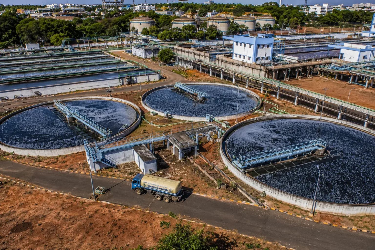
Environmental & Social Impact Assessment and EHS reporting for existing and proposed sewage treatment plants on the Ganga.
- Largest existing STP
- 130 MLD
- Assessed
- 5 plants
Where we do this
CGWA Groundwater NOC for logistics & ports, city by city.
Other sectors
Who else we run cgwa groundwater noc for.
Next step
Tell us the project, and we will tell you the category and the route.
Screening is the cheapest stage to get right and the most expensive to get wrong. We will say plainly what cgwa groundwater noc your logistics & ports project needs, and what it does not.





















































Start the conversation