







HTL and LTL demarcation: the line every CRZ setback is measured from.
The High Tide Line is the datum of the entire coastal regulation regime, the 500 metre CRZ on the seafront and every No Development Zone setback within it are measured from it, which is why it must be demarcated by an authorised agency and not estimated.
What it is
Under the CRZ Notification 2019 the High Tide Line is the line on land up to which the highest high tide reaches at spring tides, and the Low Tide Line is its counterpart at the lowest low tide; the area between them is CRZ-I intertidal. The landward CRZ on the seafront extends 500 metres from the HTL, and along tidal influenced water bodies a narrower width applies. Because the HTL is the origin of every measurement that follows, the notification provides for its demarcation by agencies authorised by the MoEF&CC, and a project demarcation is expected to come from such an agency.
KIPL coordinates the demarcation through the authorised agency and integrates the resulting HTL and LTL into the project base map, tying it to the cadastral survey so that setbacks land on identifiable survey numbers. The practical point is that a small error in the HTL propagates across the whole site: a line placed a few metres seaward moves the No Development Zone with it and can make a structure appear permissible when it is not. A demarcation from an unauthorised source, or one carried over from an old drawing, is a foreseeable ground for the application to be sent back.

What you get
The deliverables, in hand.
- Authority
- CRZ Notification 2019 · MoEF&CC authorised demarcating agencies
- Typical timeline
- Governed by the authorised agency's schedule and field survey conditions
- HTL and LTL demarcation obtained through an MoEF&CC authorised agency
- Field verification and georeferencing of the demarcated lines
- 500 m CRZ boundary and applicable tidal water body widths plotted from HTL
- Setback and No Development Zone lines derived and marked on the layout
- Integration with cadastral survey numbers and the project base map
- Demarcation report and drawings for the CRZ clearance submission
Straight answers
HTL / LTL Demarcation: common questions.
01What is the High Tide Line?
Under the CRZ Notification 2019 the High Tide Line is the line on the land up to which the highest high tide reaches at spring tides. It is the reference datum for the coastal regulation zone: the landward CRZ on the seafront and every setback within it are measured from it.
02How far does the CRZ extend from the HTL?
On the seafront, 500 metres landward from the High Tide Line. Along tidal influenced water bodies such as creeks, backwaters and estuaries, the CRZ Notification 2019 applies a narrower landward width. The seaward extent is covered by CRZ-IV, running from the Low Tide Line into the territorial waters.
03Who is authorised to demarcate the HTL?
The notification provides for demarcation by agencies authorised by the MoEF&CC for the purpose. A demarcation from a source outside that list carries no standing in the clearance process, so the agency should be confirmed before the survey is commissioned rather than after the report is in hand.
04Why does a small error in the HTL matter so much?
Because everything is measured from it. Shifting the line a few metres shifts the entire No Development Zone and every setback with it, which can make a proposed structure appear permissible when it is not, or sterilise buildable land unnecessarily. The error is not local to the line; it propagates across the whole layout.
05What is the difference between the HTL and the hazard line?
The HTL is a tidal datum from which CRZ boundaries are measured. The hazard line is a separate line mapped on the basis of erosion, sea level rise and flooding, used for disaster management and adaptation planning rather than as a regulatory setback in itself. Both may appear on a coastal map and they serve different purposes.
06Does the HTL change over time?
The physical shoreline changes through erosion and accretion, and demarcation is carried out against the position established by the authorised agency using the prescribed method. A demarcation carried over from an old drawing without verification is a common weakness, particularly on stretches where the shoreline is known to be dynamic.
07Is HTL demarcation needed even for a small project?
If the project falls within the coastal regulation zone, the applicable setback has to be measured from a demarcated HTL regardless of project size. Small projects are in fact where the line matters most, because a modest setback error is enough to place the entire footprint inside a No Development Zone.
Within CRZ Clearance
Part of the whole route, the other components.
Primary sources
Check it at source.
This page describes CRZ Notification 2019 · MoEF&CC authorised demarcating agencies. The regulation and the filing portal are public, these are the official endpoints, not our summary of them.
Relevant proof
Where this stage has already been delivered.

Shapoorji Pallonji · Kanpur & Unnao, Uttar Pradesh
NAMAMI GANGE PROGRAMME
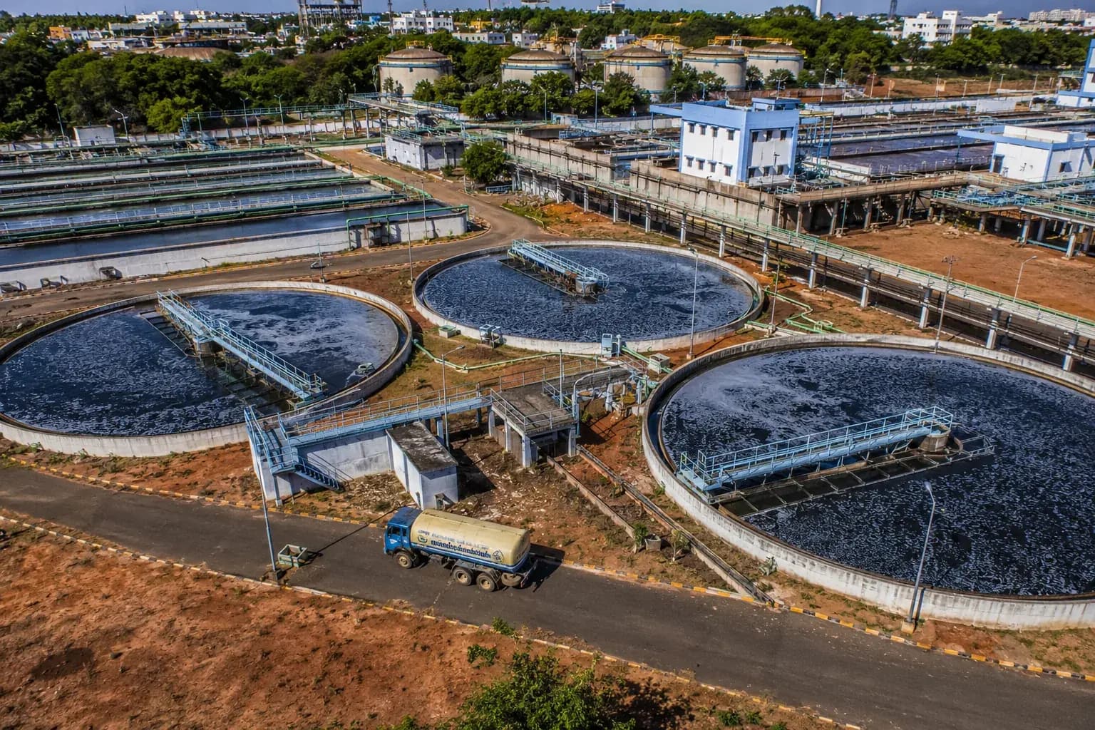
Environmental & Social Impact Assessment and EHS reporting for existing and proposed sewage treatment plants on the Ganga.
Where we do this
CRZ Clearance on the ground.
The authority, the timeline and the local ground differ by city. These pages set out how crz clearance actually runs in each.
Featured projects
Work that carries its own evidence.



Our expertise
One team across the whole environmental brief.
HTL / LTL Demarcation is one stage of one practice. Most projects need several, and the commitments made at clearance are the ones we build and maintain.
Who we do this for
CRZ Clearance reads differently by industry.
- 01
Data Centres & IT ParksCore
Navi Mumbai and coastal Thane campuses sit landward of the HTL, so CRZ Notification 2019 categorisation and MCZMA clearance precede the EC.
CRZ Clearance for Data Centres & IT Parks - 02
Logistics & PortsCore
Jetties, shipyards and waterfront logistics sit inside the CRZ Notification 2019, where the 1:4000 HTL/LTL demarcation decides the category.
CRZ Clearance for Logistics & Ports - 03
River & Water Missions
CRZ Notification 2019 extends up tidal-influenced river stretches, so estuarine works need MCZMA clearance as well as programme approval.
CRZ Clearance for River & Water Missions
Trusted by
The organisations this work is done for.














In the press