






Wetland NOC · Logistics & Ports
Wetland NOC for Creekside Logistics & Port Sites
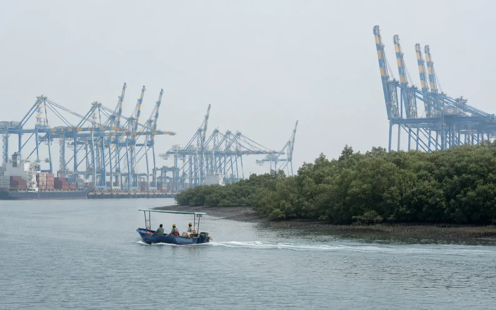
Creekside logistics and port sites sit against mudflats, salt pans and mapped waterbodies, which brings the Wetlands (Conservation and Management) Rules 2017 into the approval route. And the first question is which of those features the Rules actually govern and which are already inside the CRZ.
Screening view on your project, with the category and route named. No obligation.
What this means for logistics & ports
The regime here is easy to get wrong because two instruments cover adjacent ground. The Wetlands (Conservation and Management) Rules 2017 prohibit the conversion of notified wetlands to non-wetland use and place them under a State Wetland Authority, but the Rules exclude areas already governed by other frameworks, including those covered by the Coastal Regulation Zone Notification. On a creekside site that distinction runs straight through the plot: the intertidal mudflat and mangrove edge are dealt with as CRZ features, generally CRZ-I, while a landward waterbody, an abandoned salt pan, a tidal flat cut off from the sea, or a mapped wetland outside the CRZ boundary falls to the 2017 Rules and the State authority. Getting this wrong in either direction is expensive: treating a CRZ feature as a wetland question sends the file to an authority that will not decide it, and treating a landward wetland as merely part of the site invites a stop-work order once it is identified. Maharashtra's creek belt (Thane creek, the Panvel and Ulwe flats, the Uran salt pan tract) is precisely where large logistics platforms are being built, which is why this comes up as often as it does.
How KIPL runs it
KIPL delineates before it advises. That means the site mapped against the national wetland inventory and the State's own verified wetland lists, the CRZ boundary and category overlay placed on the same drawing, and each feature on or beside the plot assigned to a regime, CRZ, the 2017 Rules, forest where mangroves are involved, or none. Only then is there a defensible position on what can be built where and what has to be applied for. Where the 2017 Rules apply, we prepare the delineation and the submission to the State Wetland Authority; where the feature is coastal, it is dealt with in the CRZ file instead; and where a site touches both, the two are run together so they describe the same ground. On this coast the mapping work is home ground for a Navi Mumbai firm. The failure to avoid is a platform designed on a revenue map, with a filled tidal flat inside the boundary that nobody assigned to any regime until an objection was filed.
- 2017 Rules
Conversion of a wetland is prohibited
The Wetlands (Conservation and Management) Rules 2017 bar conversion of notified wetlands to non-wetland use and route regulated activities through the State Wetland Authority.
- CRZ overlap
Coastal features sit outside the 2017 Rules
Wetlands within areas covered by the CRZ Notification are dealt with under that framework instead. On a creekside plot the boundary between the two regimes runs through the site.
Creek belts are where the platforms are
Maharashtra's large logistics developments sit on exactly the creek, mudflat and salt pan tracts where these features occur, so the delineation drives the layout rather than following it.
What you receive
Written for logistics & ports, not adapted from a template.
- 01Site delineation against the national wetland inventory and the State's verified wetland records
- 02Combined overlay showing CRZ boundary and category alongside mapped wetland features
- 03Feature-by-feature regime assignment, CRZ, 2017 Rules, forest, or outside all three
- 04Wetland delineation report and Brief Document for the State Wetland Authority
- 05Layout advice on setbacks and drainage connectivity before design freeze
- 06Coordination with the CRZ and Environment Clearance files so all three describe the same ground
Questions from logistics & ports
What logistics & ports ask before appointing us.
Answered against the regulation as it stands, not as a sales pitch. If your situation is not here, ask us directly.
Ask a question →Do the Wetlands Rules 2017 apply to a creekside port site?
Partly, and the split matters. The Rules exclude areas already covered by the Coastal Regulation Zone Notification, so the intertidal mudflat and mangrove edge of a creekside site are dealt with as CRZ features rather than under the Rules. A landward waterbody, an abandoned salt pan cut off from tidal influence, or a mapped wetland outside the CRZ boundary does fall under the 2017 Rules and the State Wetland Authority.
What does the State Wetland Authority actually decide?
It administers the 2017 Rules for wetlands in the State: maintaining the wetland record, and deciding on regulated activities in and around them. Conversion of a wetland to non-wetland use is prohibited outright rather than permitted with conditions, so for a logistics platform the practical question is almost always whether a feature on the site is a wetland under the Rules, not what conditions would apply if it were.
How is a wetland identified on a site that looks like open ground?
Through the mapped record and the physical evidence together: the national wetland inventory and the State's verified lists, historic satellite imagery showing seasonal or tidal inundation, soil and vegetation indicators, and the drainage connectivity. Abandoned salt pans and seasonally flooded flats look like developable land in the dry season and appear very differently in imagery from the monsoon, which is why the delineation uses a time series rather than a site visit.
Can a mapped wetland be filled if it is degraded?
Degradation is not a route to conversion. A feature that is silted, encroached or seasonally dry may still be within the record, and filling it before that is settled creates an offence rather than a fact on the ground. The correct sequence is delineation, regime assignment, and then a layout drawn around what cannot be touched.
How does this interact with the CRZ and EC files?
They have to describe the same ground. The site area, the water features and the developable footprint must be identical across the wetland delineation, the CRZ mapping and the Environment Clearance application, because different authorities read them and inconsistency between the three is a query in all of them. We run them off one base drawing for that reason.
When should the delineation be done?
Before the layout is fixed, and ideally before the land is acquired. Setbacks from a wetland, the loss of a filled area from the developable footprint and the drainage connectivity that has to be preserved all change the platform's yield, and those are cheap decisions at concept stage and very expensive ones after a masterplan has been approved and marketed.
Stage by stage
How wetland noc actually runs, step by step.
Also for logistics & ports
The rest of the environmental brief for this sector.

Relevant proof
NAMAMI GANGE PROGRAMME
Environmental & Social Impact Assessment and EHS reporting for existing and proposed sewage treatment plants on the Ganga.
- Largest existing STP
- 130 MLD
- Assessed
- 5 plants
Where we do this
Wetland NOC for logistics & ports, city by city.
Other sectors
Who else we run wetland noc for.
Next step
Tell us the project, and we will tell you the category and the route.
Screening is the cheapest stage to get right and the most expensive to get wrong. We will say plainly what wetland noc your logistics & ports project needs, and what it does not.





















































Start the conversation