





Wetland Delineation: establishing whether a site is a wetland, and where its boundary runs.
Wetland delineation establishes with evidence whether the feature at or near a site is a wetland under the Wetlands Rules 2017, and exactly where its boundary and zone of influence lie.
What it is
The Wetlands (Conservation and Management) Rules 2017, framed under the Environment (Protection) Act 1986, adopt the Ramsar definition of a wetland and require States and Union Territories to identify wetlands and notify them with a defined boundary and zone of influence. The Rules expressly exclude river channels, paddy fields and certain human-made water bodies constructed for specific purposes. Once a wetland is identified or notified, the activities listed in the Rules are prohibited within it and others are regulated by the State Wetlands Authority, so whether those restrictions bite on a project turns first on a factual question.
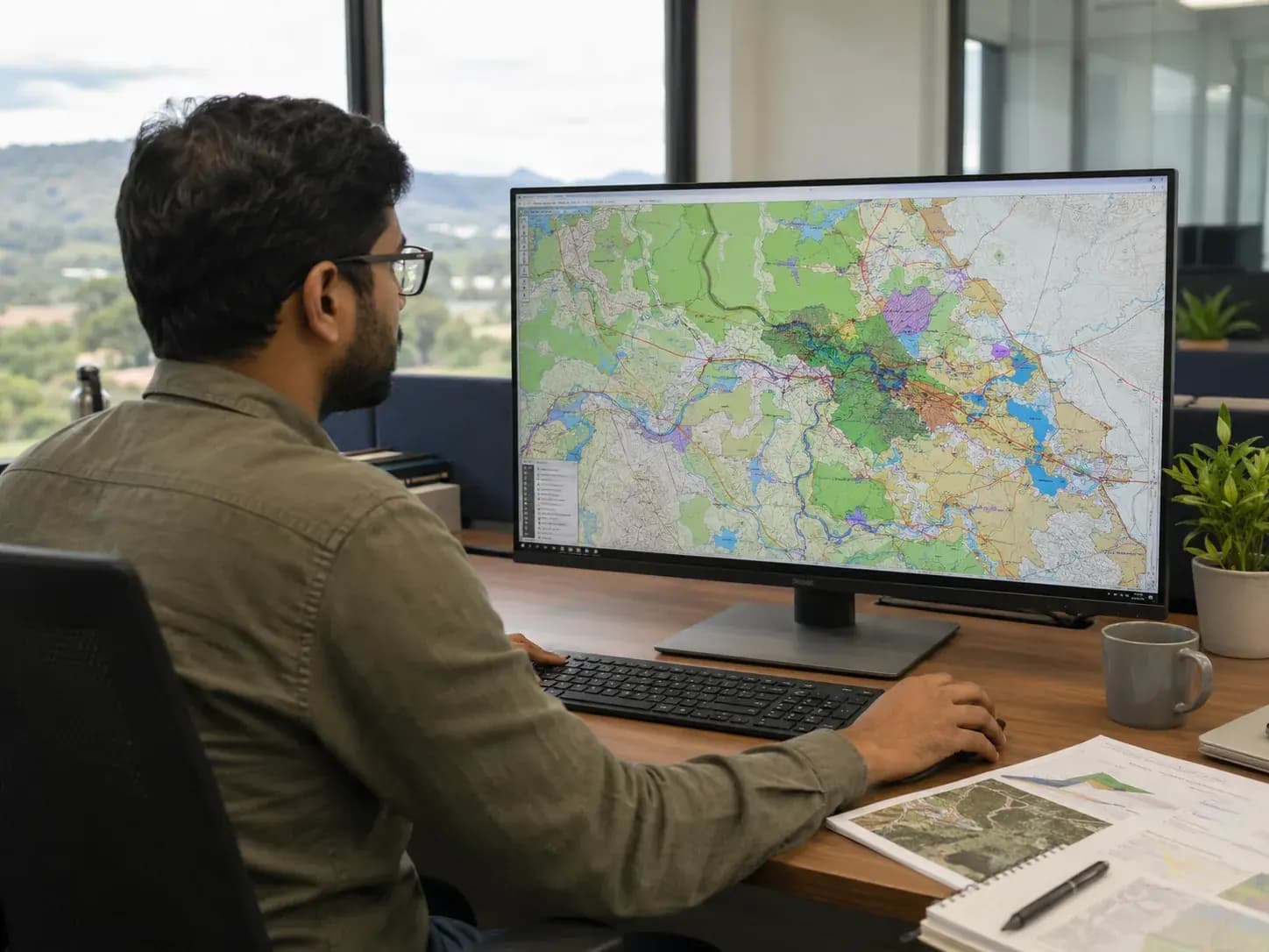
KIPL delineates using multi-season satellite imagery and change detection, the national wetland inventory mapping, revenue and survey records, hydrological character and vegetation, and ground truthing, and reports the boundary together with the evidence behind it. The failure mode here is assumption in both directions: a project that treats a seasonal water body as ordinary revenue land and builds on it, and a project that abandons a viable site because a drainage line on a toposheet was read as a wetland. Both are settled by delineation, and both are far cheaper to settle before the layout is frozen.
What you get
The deliverables, in hand.
- Authority
- Wetlands (Conservation and Management) Rules 2017 · EP Act 1986
- Typical timeline
- Weeks; multi-season imagery and field access may extend it
- Multi-season satellite imagery analysis and change detection of the water feature
- Delineated boundary with area statement, coordinates and maps
- Ground truthing with hydrological and vegetation characterisation
- Screening against the State's identified and notified wetland inventory
- Zone of influence assessment and project-footprint overlay drawings
- A delineation report usable before the State Wetlands Authority
Straight answers
Wetland Delineation: common questions.
01What counts as a wetland under the 2017 Rules?
The Rules adopt the Ramsar definition: areas of marsh, fen, peatland or water, natural or artificial, permanent or temporary, with water that is static or flowing, fresh, brackish or saline, including certain marine areas. They expressly exclude river channels, paddy fields and human-made water bodies constructed for purposes such as drinking water, aquaculture, salt production, recreation and irrigation.
02Is delineation the same as notification?
No. Delineation is a technical exercise establishing the extent of the feature on evidence. Notification is a decision by the State to bring a specific wetland under the Rules with a defined boundary and zone of influence. A delineation report informs that decision and informs a proponent's own risk position; it does not itself create or remove a legal status.
03Why does the figure of 2.25 hectares come up in wetland discussions?
It comes from the identification exercise carried out on national wetland inventory mapping, where wetlands above roughly that mapped extent were taken up for identification by the States. It is a threshold used in that exercise, not a definition: a smaller water body is not automatically outside the Rules, and the State's own inventory position should be checked.
04What if no wetland has been notified in my State?
The obligation on States to identify and notify has been pursued through directions and the position differs between States. A feature that meets the definition can attract attention and objection even before notification, and courts and tribunals have acted on that basis. Delineating and recording the position early is the practical protection.
05Does a delineation report bind the authority?
No. The State Wetlands Authority takes its own view, and may rely on its inventory, its own inspection or the district administration. A well-evidenced delineation is the proponent's case, not the decision, which is why the evidence base (imagery, records, hydrology, ground truthing) matters more than the conclusion stated.
06What activities are prohibited within a wetland?
The Rules prohibit conversion for non-wetland uses, encroachment, setting up or expansion of industries, disposal of construction and demolition waste, solid waste dumping and discharge of untreated effluents, among others. Other activities are regulated, meaning they are for the State Wetlands Authority to decide upon rather than automatically barred.
07Does a wetland near the site stop a project?
Not by itself. What matters is whether the project footprint or its effects fall within the wetland or its zone of influence, and how the proposed activity is classified. Many projects proceed with layout changes, buffers and drainage measures established at the delineation stage rather than after a notice.
08How does this relate to Environment Clearance?
They are separate. Wetland restrictions apply under the Wetlands Rules irrespective of whether a project needs Environment Clearance, and an EC does not authorise an activity the Wetlands Rules prohibit. Where both apply, the delineation and the Authority's position should be settled and reflected in the EIA rather than discovered during appraisal.
Within Wetland NOC
Part of the whole route, the other components.
Relevant proof
Where this stage has already been delivered.

Shapoorji Pallonji · Kanpur & Unnao, Uttar Pradesh
NAMAMI GANGE PROGRAMME
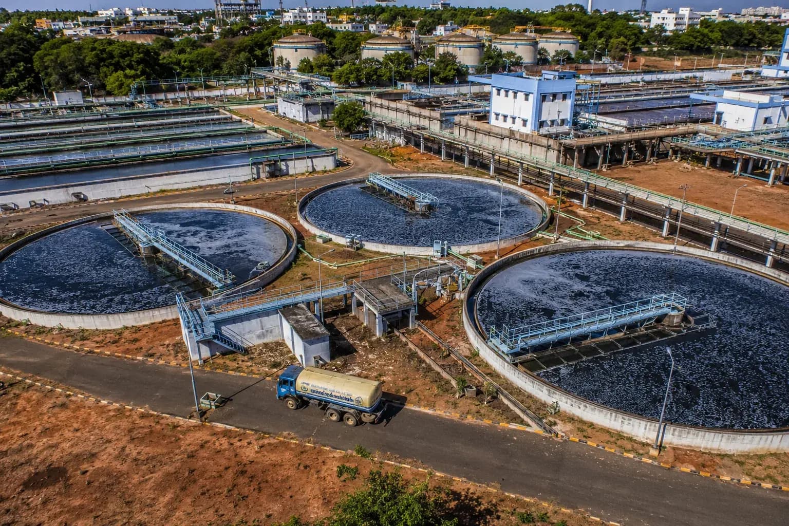
Environmental & Social Impact Assessment and EHS reporting for existing and proposed sewage treatment plants on the Ganga.
Where we do this
Wetland NOC on the ground.
The authority, the timeline and the local ground differ by city. These pages set out how wetland noc actually runs in each.
Featured projects
Work that carries its own evidence.



Our expertise
One team across the whole environmental brief.
Wetland Delineation is one stage of one practice. Most projects need several, and the commitments made at clearance are the ones we build and maintain.
Who we do this for
Wetland NOC reads differently by industry.
- 01
Data Centres & IT Parks
Creek-side parcels frequently abut notified or mapped wetlands, bringing the Wetlands (Conservation and Management) Rules 2017 into the approval route.
Wetland NOC for Data Centres & IT Parks - 02
Logistics & Ports
Creekside sites sit against mudflats and mapped wetlands, bringing the Wetlands (Conservation and Management) Rules 2017 into the approval route.
Wetland NOC for Logistics & Ports - 03
River & Water Missions
Floodplain wetlands and oxbow lakes fall under the Wetlands (Conservation and Management) Rules 2017, which govern what may be built near them.
Wetland NOC for River & Water Missions
Trusted by
The organisations this work is done for.














In the press