








Wetland NOC · Data Centres & IT Parks
Wetland NOC for Creek-Side Data Centre and IT Park Sites
Data centre and IT park parcels along creek belts frequently abut notified or atlas-mapped wetlands, which brings the Wetlands (Conservation and Management) Rules 2017 and a verification from the State Wetland Authority into the approval route before construction can be planned with confidence.
Screening view on your project, with the category and route named. No obligation.
What this means for data centres & it parks
The Wetlands (Conservation and Management) Rules 2017, framed under the Environment (Protection) Act 1986, prohibit and regulate specified activities in and around notified wetlands, with State Wetland Authorities and district-level committees administering identification, notification and permissible use. Alongside the notified list sits the national wetland atlas, in which mapped waterbodies above the identification threshold are recorded, and courts have directed that atlas-mapped wetlands be verified on the ground. For this sector that matters because the land that suits a hyperscale campus (flat, cheap, close to power and fibre, on the landward edge of a creek) is often exactly what appears in the atlas as a mudflat, salt pan, seasonal waterbody or abandoned aquaculture pond. A parcel can therefore be clean on the revenue record and still be flagged.
How KIPL runs it
KIPL establishes the position on the ground before the design is committed: the parcel checked against the notified list and the atlas, the mapped polygons verified by survey, and the boundary and any zone of influence plotted against the proposed layout. Where the parcel is clear, the outcome is a documented verification from the competent authority that the EC, CRZ and wildlife files can rely on; where it is not, the layout, drainage and reclamation approach has to change, and it is far cheaper to change it at that stage. The mistake this avoids is the one that recurs on creek belts, earthwork begun on a parcel whose stormwater and levelling proposals implicate a mapped waterbody, with the objection arriving after the campus programme is already committed.
- Wetland Rules 2017
Regulated and prohibited activities
The rules restrict conversion, reclamation and specified activities in and around wetlands, administered through the State Wetland Authority and district-level committees.
- Wetland atlas
Mapped polygons need ground verification
Parcels appearing in the national wetland atlas require verification even where nothing is notified, and the check is expected before construction rather than after an objection.
Creek-side land is where the sector builds
Flat, well-connected parcels on the landward edge of creeks are exactly the ground that appears as mudflat, salt pan or seasonal waterbody in the mapping.
What you receive
Written for data centres & it parks, not adapted from a template.
- 01Parcel screened against the notified wetland list and the national wetland atlas
- 02Ground verification survey of any mapped polygon touching or adjoining the parcel
- 03Boundary and zone-of-influence plotted against the proposed campus layout and utility corridors
- 04Application and representation to the State Wetland Authority or district-level committee
- 05Documented verification or NOC in a form the EC, CRZ and wildlife files can rely on
- 06Layout, levelling and stormwater adjustments where a mapped feature constrains the site
Questions from data centres & it parks
What data centres & it parks ask before appointing us.
Answered against the regulation as it stands, not as a sales pitch. If your situation is not here, ask us directly.
Ask a question →Our land records show no wetland. Why is verification needed?
Because the wetland position is established by the notified list and by the national wetland atlas mapping, not by the revenue classification. A parcel recorded as barren land or salt pan can appear as a mapped waterbody in the atlas, and the check has to be made against those sources. Relying on the revenue record alone is how objections arrive late.
What does the wetland status actually restrict?
The Wetlands (Conservation and Management) Rules 2017 prohibit certain activities, notably conversion for non-wetland uses and permanent construction, within a notified wetland and regulate others in the area around it. The practical effect on a campus is on levelling, reclamation, stormwater discharge and the routing of utility corridors, so the constraint shows up in the layout rather than as a simple yes or no.
How does this interact with CRZ and wildlife clearance?
On a creek-side parcel all three can apply, and they examine overlapping ground from different statutes: CRZ regulates the coastal zone, the wildlife route addresses the eco-sensitive zone and protected area proximity, and the wetland rules address the waterbody itself. They should be screened together at site selection, because each can independently reshape the layout.
Who issues the wetland verification?
The State Wetland Authority and the district-level committee constituted under the rules are the competent bodies, working through the district administration. The output is generally a verification of the wetland status of the parcel, which is then relied upon in the other approval files: its form and the process vary by state and district, so the route is confirmed locally at the outset.
When should this be done in the programme?
Before the layout is frozen and certainly before earthwork. A verification obtained at due-diligence stage either clears the parcel or reveals a constraint while the design can still absorb it. Obtained after mobilisation, it either confirms a problem that has already been created or holds up a committed programme while the position is resolved.
Does a mapped wetland mean the site cannot be developed?
Not necessarily. It means the mapped feature and its surrounds cannot be treated as ordinary buildable ground, and that the development has to be arranged around it with drainage and levelling that do not degrade it. Many campuses are built on parcels adjoining mapped waterbodies; what changes is the footprint, the stormwater design and the evidence base for the other clearances.
Stage by stage
How wetland noc actually runs, step by step.
Also for data centres & it parks
The rest of the environmental brief for this sector.

Relevant proof
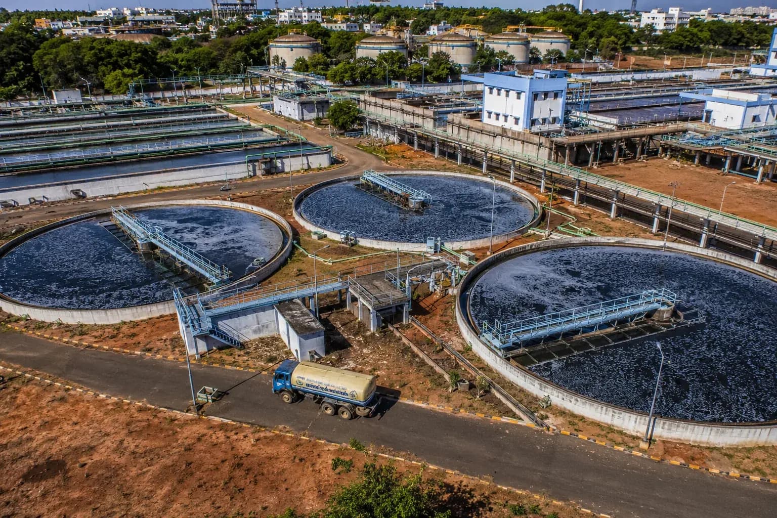
NAMAMI GANGE PROGRAMME
Environmental & Social Impact Assessment and EHS reporting for existing and proposed sewage treatment plants on the Ganga.
- Largest existing STP
- 130 MLD
- Assessed
- 5 plants
Where we do this
Wetland NOC for data centres & it parks, city by city.
Other sectors
Who else we run wetland noc for.
Next step
Tell us the project, and we will tell you the category and the route.
Screening is the cheapest stage to get right and the most expensive to get wrong. We will say plainly what wetland noc your data centres & it parks project needs, and what it does not.




























































Start the conversation