





ZR2 Group proposed a jetty with tank farms, container yards and warehousing on the Dahanu shoreline in Palghar, close to Vadhavan Port. Almost all of it sits in CRZ-I and CRZ-I B, the most tightly regulated coastal categories there are. KIPL was asked the question that comes before any filing: what can lawfully be built here, and what will it take to get permission.
The brief
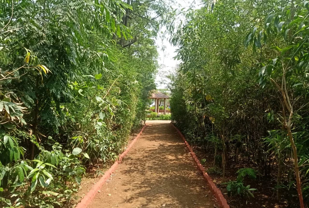
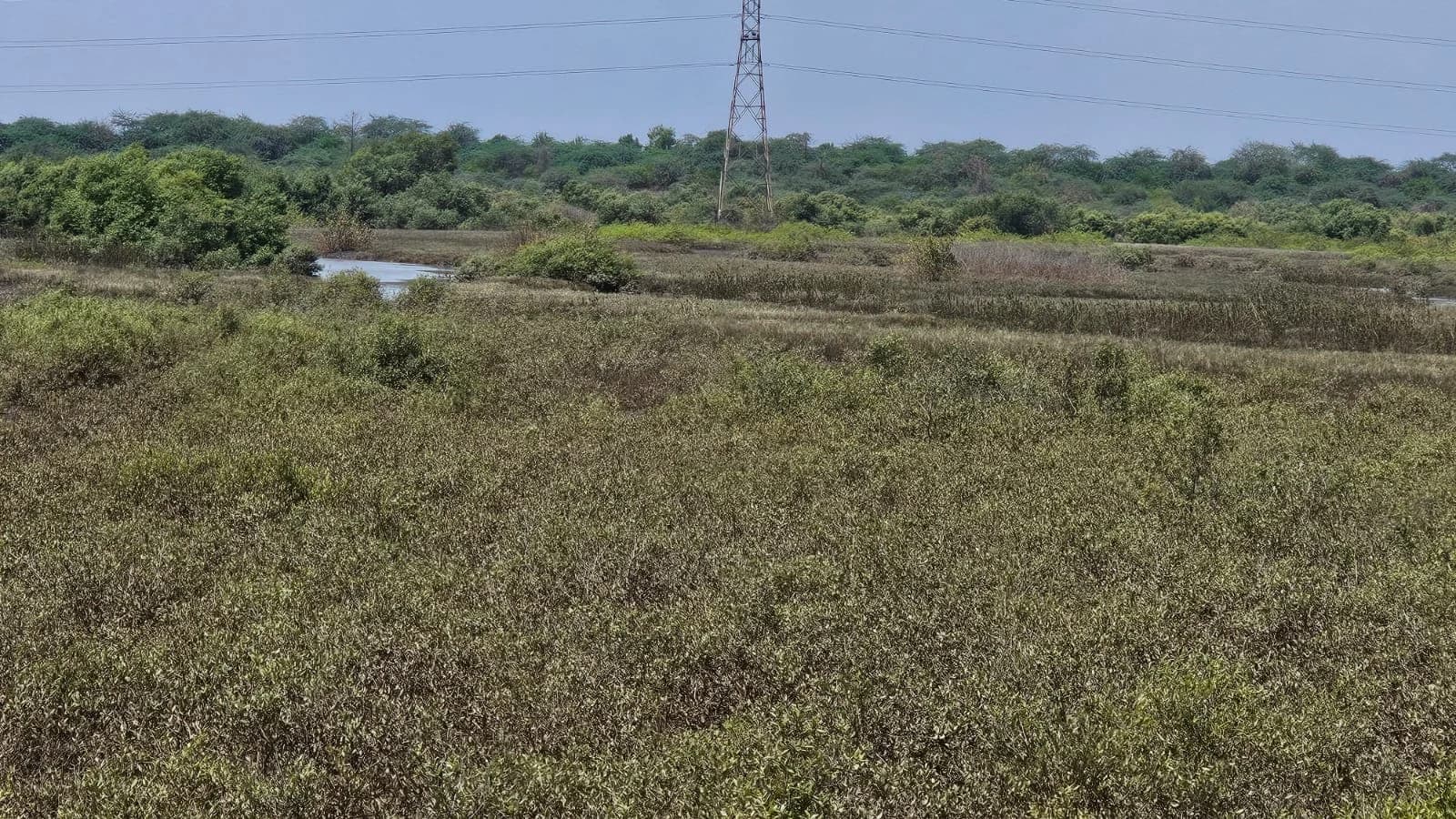
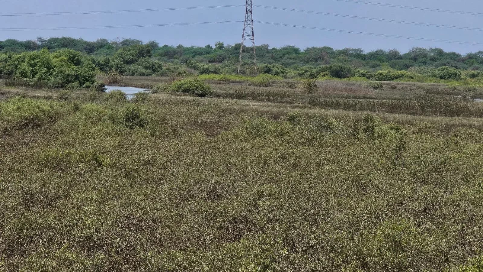
The site is a coastal low-lying stretch with estuarine features: sparse mangrove patches, salt pan, wetland pockets and barren ground, with open forest 1.75 km away and dense forest at 2.5 km. The Dahanu river system and its creeks run alongside it. Vadhavan Port is near neighbour.
That combination puts most of the site inside CRZ-I B, the intertidal zone, where the permissible activity list is short and specific. A jetty is on it. Much of what a cargo terminal needs around a jetty is not, or is permitted only on conditions. The commercial question was therefore an environmental one first.
287.6 Ha
CRZ-I and CRZ-I B mapped across the site
The mandate
- Coastal zone mapping
- CRZ categories established against the 2019 Maharashtra CZMP, sheet E 43 A 13/NW, with the mangrove extent marked on current imagery and the plot and buffer boundaries drawn against it.
- Ecological and land-use baseline
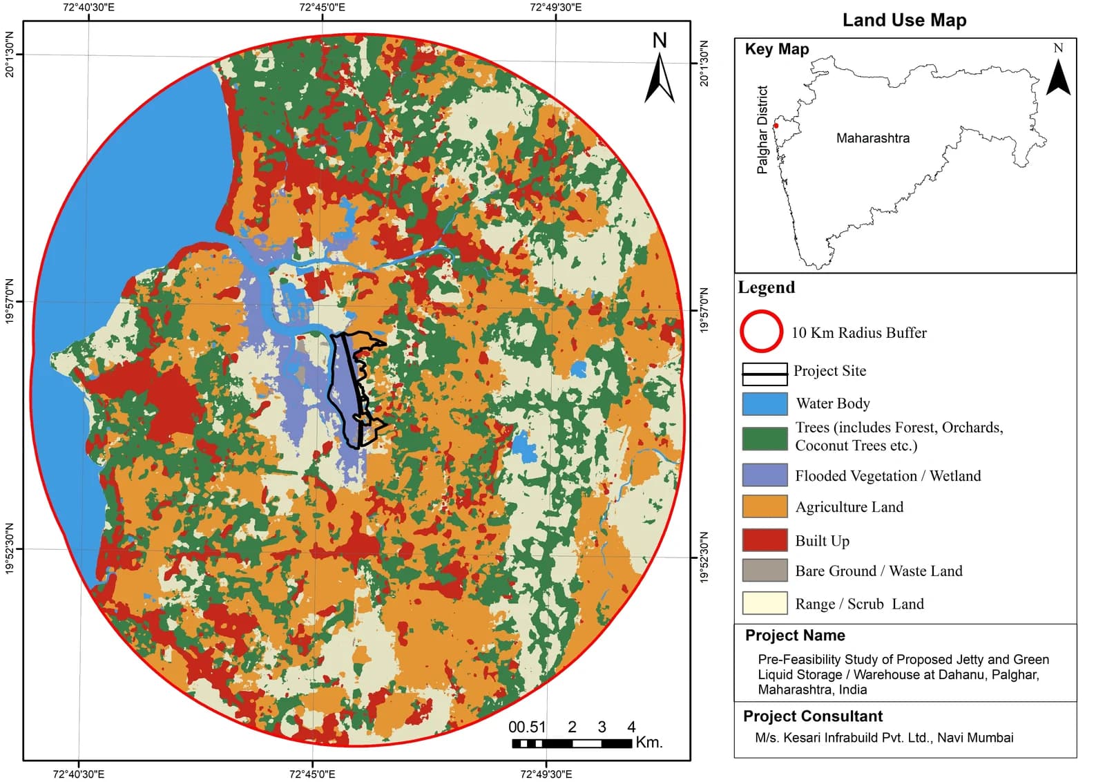
- Mangrove, wetland and salt-pan features recorded, and the 10 km study area classified into water body, trees, wetland, agriculture, built-up, bare ground and range land.
- Hydrology and connectivity
- The river, stream and creek network within 5 km assessed for the stormwater and runoff controls it would demand, alongside the road and rail access the site already has.
- Socio-economic profile
- Working population across the 10 km radius profiled, and the employment, connectivity and business effects of the proposal set out.
- Clearance route
- Every permission the project would need, the authority that grants it, and whether it applies outright or on condition.
The clearance route
Nine separate permissions were identified, from four levels of government. Naming them at pre-feasibility is the point of the exercise: each carries its own study, its own authority and its own clock.
Applies outright
- CRZ Clearance, MCZMA and MoEF&CC, the site being notified CRZ-I B
- Environmental Clearance, Category A, MoEF&CC through the EAC
- Port Clearance, Jawaharlal Nehru Port Authority
- Dahanu Taluka Environment Protection Authority: mandatory for any industrial activity here
Applies on condition
- Forest Clearance: if reserved forest land is affected, on final forest map verification
- Wildlife Clearance: if an eco-sensitive zone or protected area falls within 10 km
- Groundwater NOC, CGWA, if borewells or abstraction are proposed
Runs alongside
- Wetland identification and notification, State Wetland Authority
- Consent to Establish and Consent to Operate, MPCB
How the study ran
- 01Establish the constraintCRZ category before anything else: it decides what is even discussable on a site like this.
- 02Map the groundGIS land-use classification across the full 10 km radius, so the setting is described by data rather than impression.
- 03Test the activityThe proposal checked against the permissible-activity list for CRZ-I B rather than assumed to fit it.
- 04Route the approvalsEach clearance named with its authority, so the programme can be built around the longest pole rather than discovering it late.