





Environmental Datasets and Licensing: evidence built for one project, documented for reuse.
Environmental data is almost always collected for a single gate and then filed. Documented properly, the same data answers questions the project that funded it never asked.
What is measured
Survival series, effluent and ambient performance, approval timelines and impact survey results
Over what period
Series run from 2011 onward; licensing terms are set per engagement
Overview
Environmental Datasets & Licensing
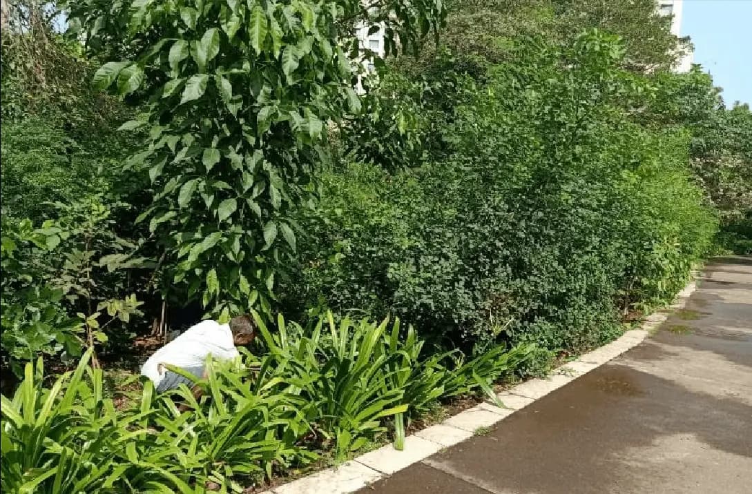
A plantation survival series, years of effluent results from operating plants, ambient monitoring across industrial estates, or the timeline record of a body of approvals: each was collected to satisfy a condition. Each is also, in aggregate, a description of how environmental systems behave in a particular climate and regulatory regime, which is information that very few organisations hold and almost none have structured for reuse.
KIPL maintains these series as datasets rather than as archives: parameters defined, methods and instruments recorded, collection dates and locations fixed, gaps marked as gaps rather than interpolated, and the provenance of every figure traceable to a site and a round. Licensing then gives a partner, fund, city or researcher access on stated terms, with the limits of the data documented alongside it, because a dataset handed over without its method is a liability to whoever uses it next.
What you get
The deliverables, in hand.
Every item below is a document, dataset or register that is handed over, not a stage in a process.
Dataset inventory: what series exist, their parameters, extent and period
Data dictionary: every field defined, with units and collection method
Provenance record tying each figure to a site, round and instrument
Gap and quality register, with gaps marked rather than filled
Licence terms covering permitted use, attribution and redistribution
Delivery in a structured, documented format with its limits stated
Evidence
Measured, not asserted.
Since 2011
Earliest series in the archive
300+
Delivered projects contributing data
Gaps marked
Never interpolated to look continuous
Method
Fixed before the first reading.
The method is agreed in advance so that the finding cannot be shaped once the results appear.
Structure the series
Define parameters, units and methods, and reconcile the record so that every figure is traceable to a site, a round and an instrument.
Document the limits
Mark gaps as gaps, record instrument and method changes, and register known quality issues: the part that makes reuse safe.
Agree the licence
Permitted use, attribution, redistribution and period, settled in writing before any transfer.
Deliver and support
Hand over in a structured documented format, with the data dictionary and the method, and answer questions about provenance afterwards.


Geographic scope
Commissioned across twelve markets.
This work is method rather than licence, so it is not bound to the states the delivery practices are accredited in.
- India
- Maldives
- United Arab Emirates
- Saudi Arabia
- Qatar
- Bahrain
- Kenya
- Nigeria
- Singapore
- Bangladesh
- Sri Lanka
- United Kingdom
Commissioned by




























































In the press
Covered where the sector reads.
Straight answers
What clients ask this practice first.
01What kinds of dataset are available?
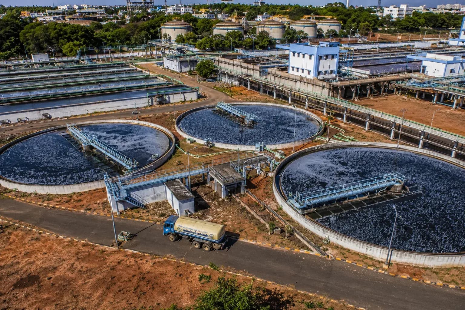
Principally four: longitudinal plantation survival and growth series; effluent and treatment performance from operating plants; ambient air, water and noise monitoring across sites and estates; and timeline benchmarks drawn from a body of approvals. All of it originates in delivered KIPL projects rather than in third-party collection.
02Why does a dataset need a data dictionary?
Because a column heading is not a definition. Whether a survival figure excludes replacements, whether a reading is a 24-hour average or a spot sample, which instrument and method produced it, these determine what the number can be used for. A dataset transferred without that documentation will be misused, usually in good faith.
03Are gaps in a series filled?
No. Gaps are marked as gaps. Interpolating to produce a continuous-looking series is the single most damaging thing that can be done to environmental data, because the resulting trend is partly invented and nobody downstream can tell which part. A visible gap is honest and still usable.
04Who licenses this kind of data?
Cities and municipal bodies planning programmes, funds and lenders carrying out environmental diligence, corporates with reporting obligations that need a credible local benchmark, academic researchers, and technology partners building environmental products that need ground-truth from this region.
05What about client confidentiality?
It governs. Data originating in a client project is licensed only where the commission permits it, and in many cases only in aggregated or de-identified form, so that a series remains usable as a benchmark without disclosing a particular site's results. Where that is not possible, the data stays unlicensed.
06Can data be commissioned rather than licensed?
Yes: where the series needed does not exist, collection can be commissioned to the same documented standard, which is then a study with a dataset as its deliverable. That is slower and costs more than licensing an existing series, which is why the inventory is worth checking first.
Next
Environmental Datasets & Licensing, scoped to your question.
Commissioned work, monitoring frameworks and dataset licensing are scoped directly with the research wing. Tell us the question and we will tell you what it would take to answer it defensibly.